How we did the research
We conducted our research on smart forests in two phases.
The first phase of research involved a survey of key smart forest technologies and initiatives. This survey was carried out through desk-based research, interviews and fieldwork. The survey of technologies included identifying, testing and analysing key smart forest technologies, such as data analysis and visualisation technologies, apps, platforms, sensors and drones. We tested and studied these technologies, seeking to understand their operation, proliferation, accessibility for general use, and the networks required for them to function.
Our survey of smart forest initiatives spanned locations across the globe – from Romania’s Carpathian Mountains to the Amazon rainforest – and revealed how smart forests generate new practices of observation, datafication, participation, automation and optimisation, and regulation and transformation.
To understand the diverse range of perspectives on the emergence of smart forests, the research team interviewed technologists, policymakers, scientists, community members, activists, creative practitioners and users of smart forest technologies. We identified and recruited interviewees based on their expertise and experience in smart forest environments. Over 60 of these interviews can be listened to as shorter podcasts on the Smart Forests Radio. During this first survey phase, the research team also reviewed literature on smart environments and smart forests about environmental change.
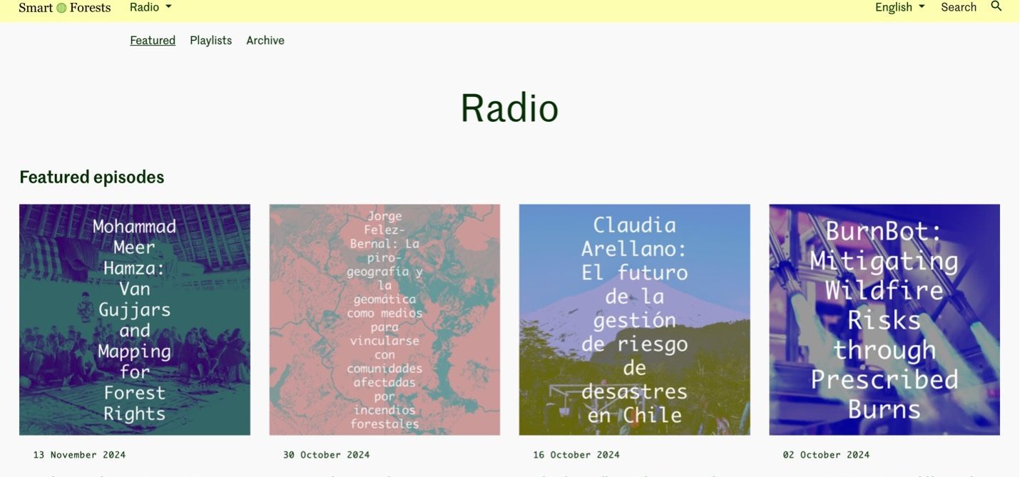
Smart Forests Atlas: Radio webpage screenshot. Smart Forests with Common Knowledge, 2025.
Phase two of the Smart Forests research involves in-depth fieldwork to produce five integrated case studies. These case studies reveal how diverse communities are encountering and engaging with digital practices and technologies in their forest worlds. The multi-sited fieldwork allows us to compare the uptake and use of technologies across different social-political milieus. This interim report presents four studies for discussion and comment. These four case studies traverse distinct field sites, including the increasingly fire-prone forests in the Palguín watershed in La Araucanía, Chile; an ecovillage and ‘living lab’ in the Southeast of the Netherlands; Indonesia’s Bukit Barisan forest; and the borderlands of the contested Rajaji National Park in Uttarakhand, India. We will review comments from the release of this first interim report and consider and incorporate them into the fifth case study, which we are currently developing in the area of landscape regeneration in the UK.
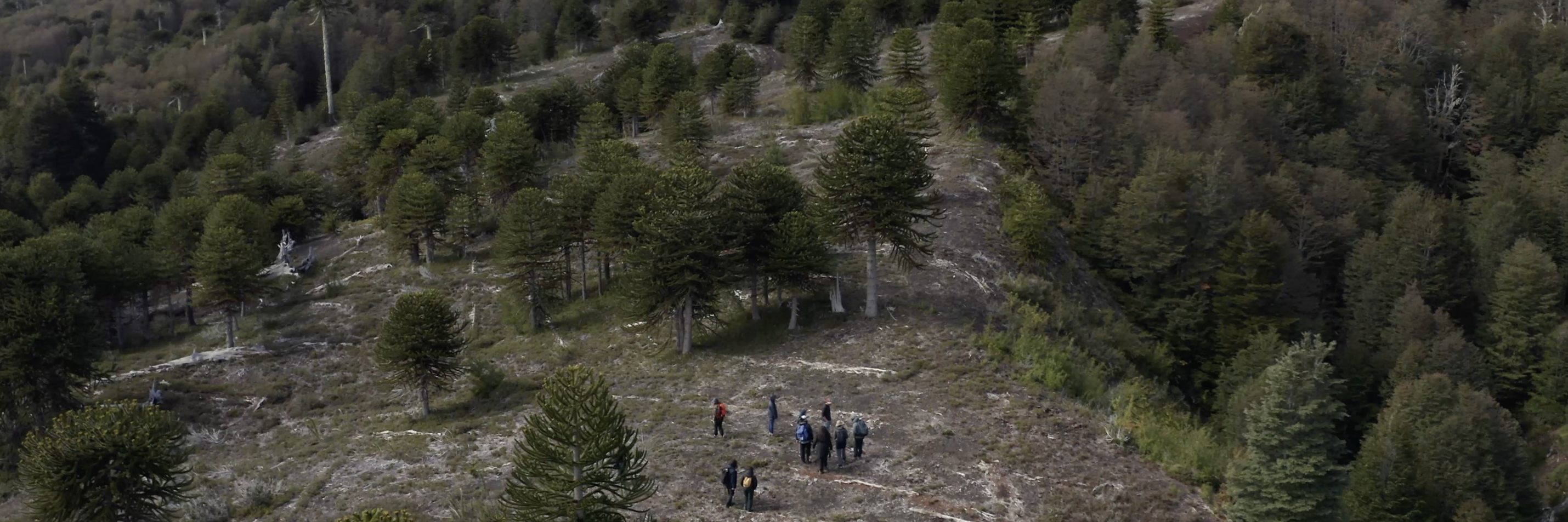
In phase two, we mobilise innovative research practices alongside more traditional research methods such as interviews. Participatory workshops and Smart Forest Field Schools have used digital technologies to generate original ‘live’ data about smart forest technologies. Researchers have hosted practical demonstrations of technologies such as drones and civic apps to engage participants in dialogue. For example, in the Dutch ecovillage, researchers encouraged workshop participants to scan QR codes linked to biodiversity data and to prompt open-ended discussions on local biodiversity monitoring. Meanwhile, in Uttarakhand, India, researchers worked with Van Gujjar communities to map their lands both manually and digitally. In Bujang Raba, Indonesia, researchers and community participants experimented with digital technologies such as drones, Avenza software and GPS during forest walks. Interdisciplinary approaches to smart forests were also facilitated by this research, with artists and scientists collaborating on responses to wildfire and ‘firetech’ in the Araucanía region in Chile and by considering how fire is also an ancestral technology that takes shape through different environmental relations and land practices. Such ‘live’ encounters with digital technologies developed understandings of how diverse actors might use and misuse technologies, and suggested the power struggles that might occur across these differences.
The findings from both phases of research have been documented and engaged with through academic publications and the Smart Forests Atlas. The Smart Forests Atlas serves as an online ‘living archive’, research network and tool to capture and narrate Smart Forests data, including field notes, interviews, maps, stories and social network analysis. The Smart Forests Atlas functions in six languages (English, Spanish, French, Portuguese, Hindi and Indonesian), and makes project data openly available and accessible.
The Smart Forests project research team comprises a transnational group of researchers with relationships to field sites, either through residency or scholarship. The group also includes creative collaborators who contribute to sound, video, web, and graphic design and production, as well as an extended network of collaborators in case study locations and other forest locations worldwide.
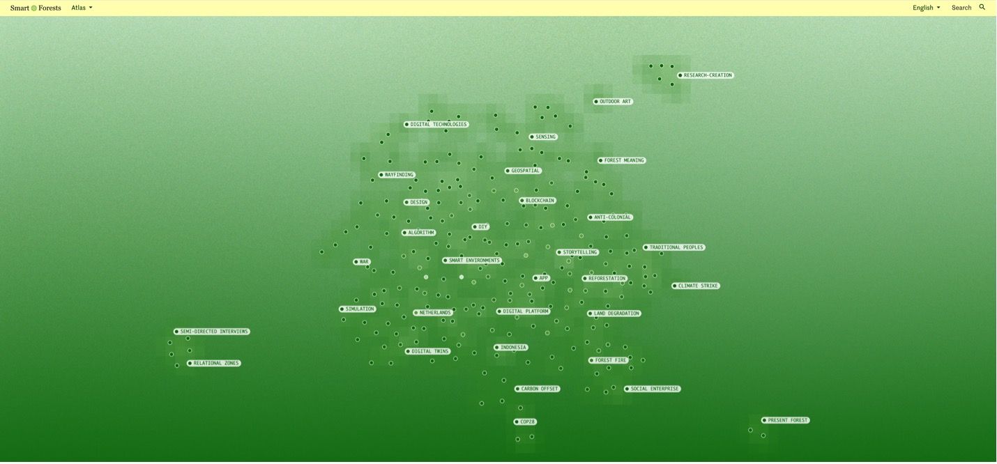
Smart Forests Atlas: Homepage screenshot. Smart Forests with Common Knowledge, 2025.
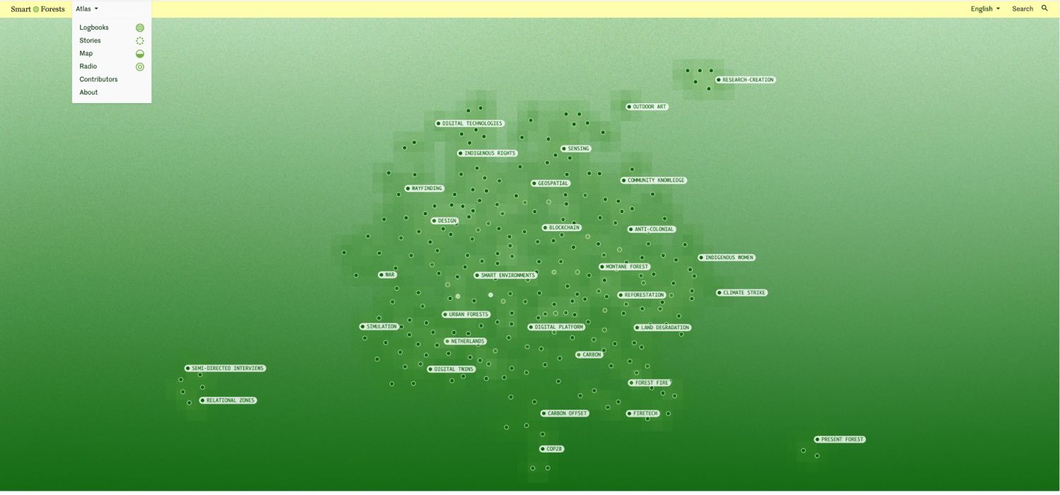
Smart Forests Atlas: Homepage screenshot showing top menu. Smart Forests with Common Knowledge, 2025.
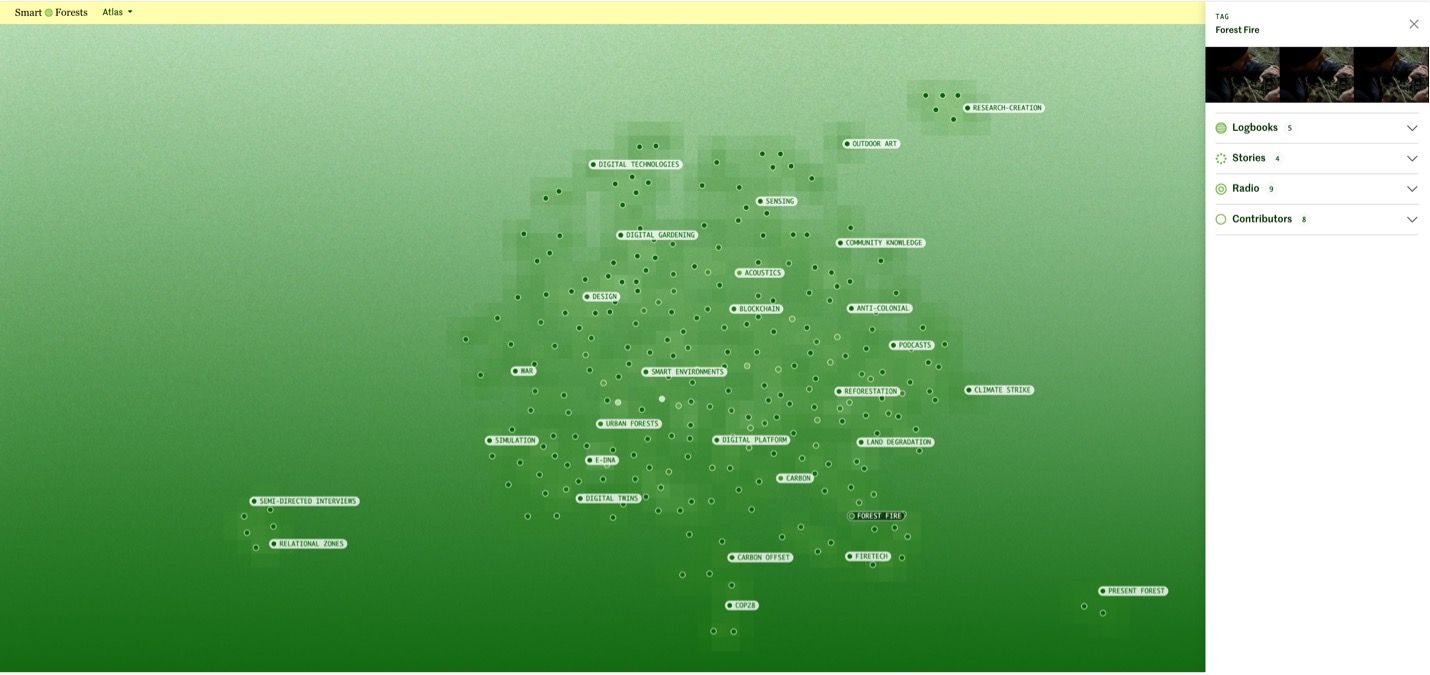
Smart Forests Atlas: Homepage screenshot showing Tag panel. Smart Forests with Common Knowledge, 2025.
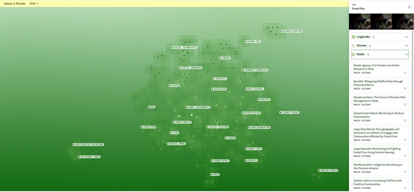
Smart Forests Atlas: Homepage screenshot with Tag panel expanded for Radio episodes. Smart Forests with Common Knowledge, 2025.
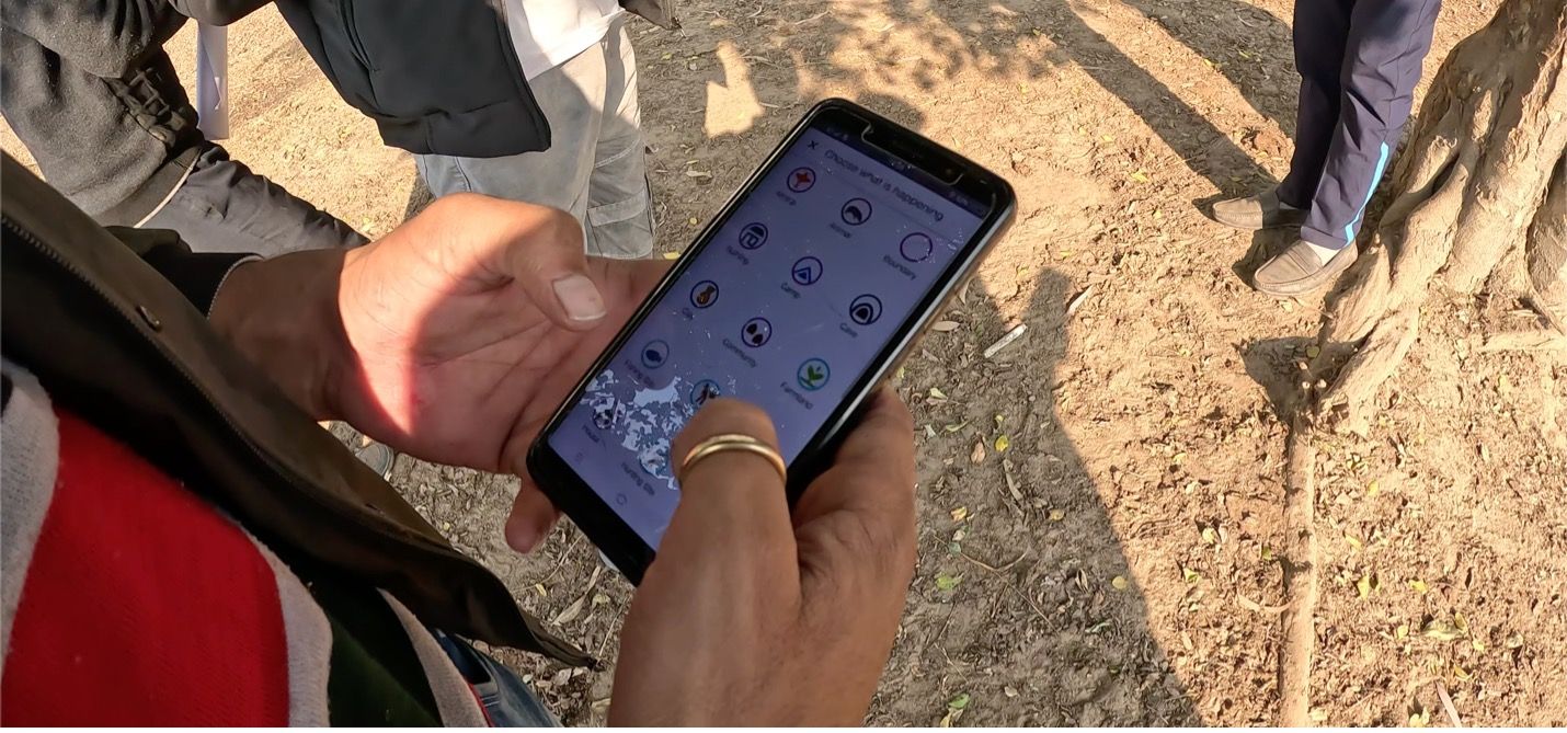
Smart Forests project photo of Van Gujjar community member using mobile application to designate land use. Uttarakhand, India. Trishant Simlai with Smart Forests, 2022.
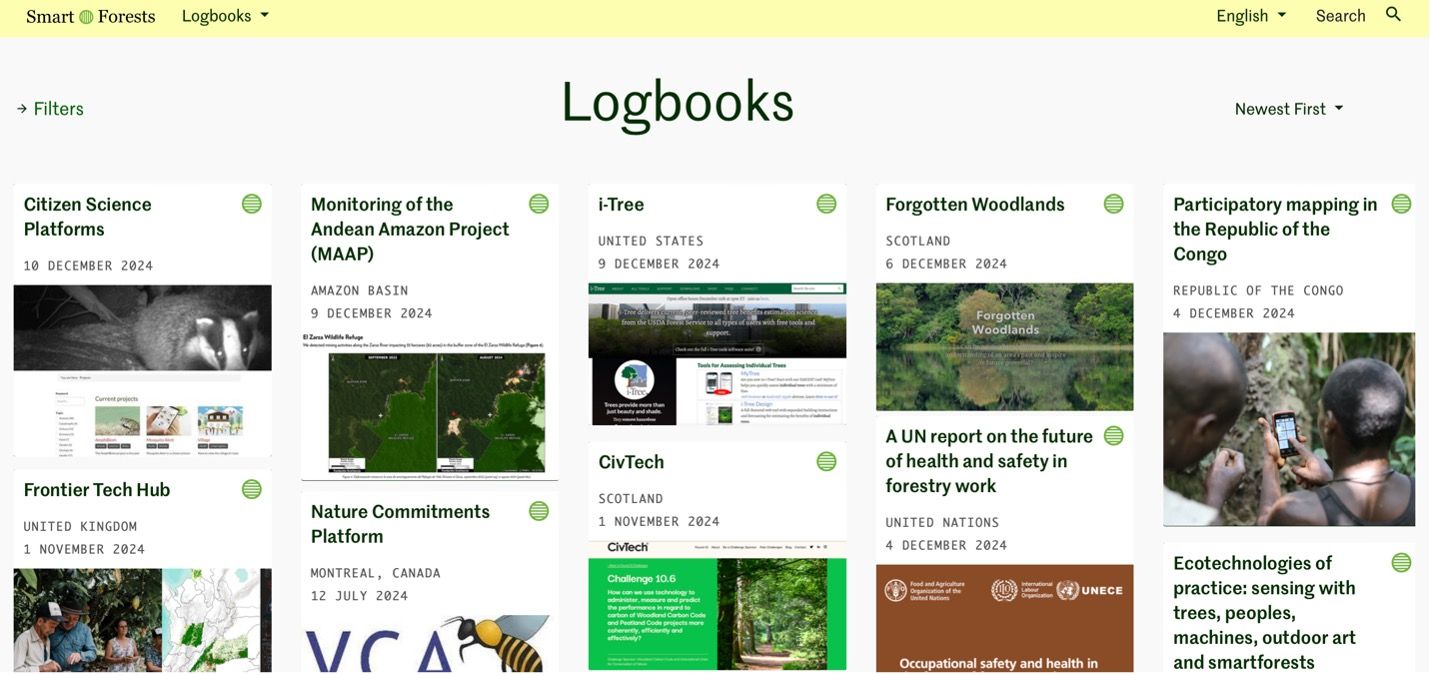
Smart Forests Atlas: Logbooks screenshot. Smart Forests with Common Knowledge, 2025.