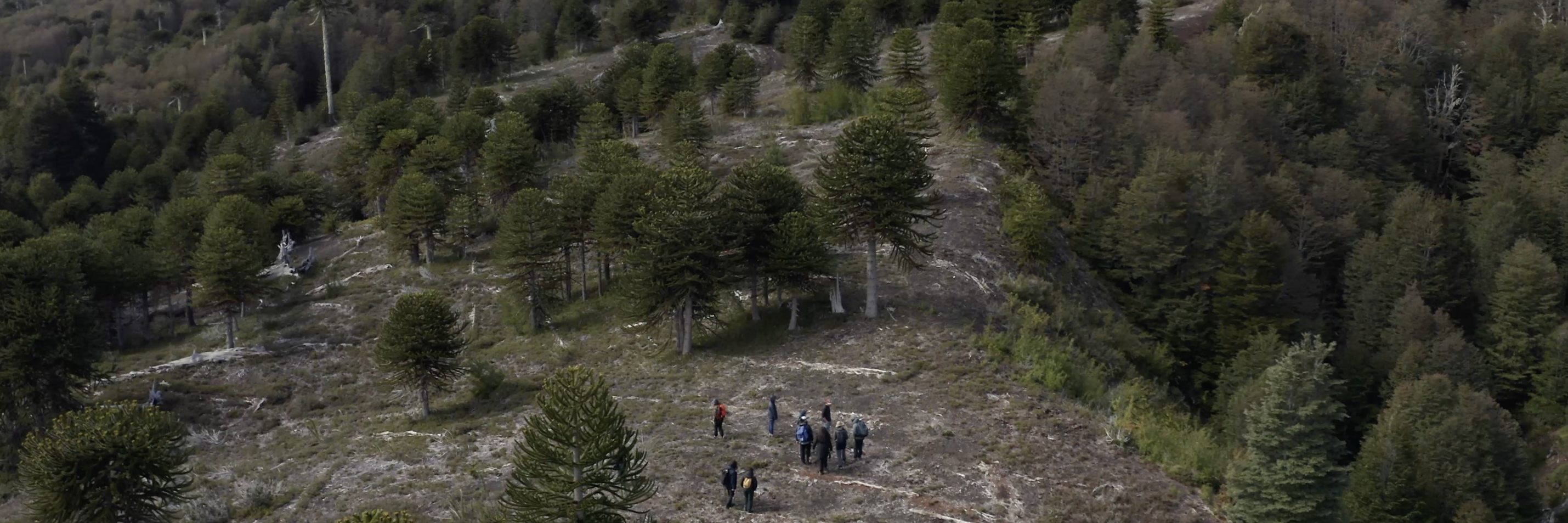
Scanning community-led forest technology initiatives
During our survey of smart forest initiatives, we encountered various technologies or practices shaped by, with, or for forest communities. The table below shares examples of smart forest tools and initiatives that are especially community-oriented and that foreground community voices, rights and environmental experiences.
We found that communities engaged with smart forest technologies for the following purposes: participatory mapping of environments; community sharing networks and education; observing and regulating deforestation; datafying carbon and ecosystems services (including for monetisation purposes); sustaining forests and the natural environments; and tracking hazards and automating and optimising responses.
| Activity | Project | Details | |
|---|---|---|---|
| Participatory mapping | Mapeo | Mapeo is an open-source, offline-first toolset for forest monitoring and territory mapping. It supports participatory data collection and sharing, reinforcing community sovereignty over their land and data. Developed by Awana Digital, Mapeo has enabled communities to combat illegal mining, gather deforestation evidence and launch campaigns for policy changes. | 1 |
| Participatory mapping | Forgotten Woodlands | Coilltean Caillte (Gaelic for 'Forgotten Woodlands') is a project that has digitally mapped over 15,000 Scottish place names that indicate woodland presence. The project seeks to use place names to read the landscape and deepen communities’ cultural, ecological and historical understandings of the land. | |
| Participatory mapping | Participatory mapping in the Republic of the Congo | Participatory mapping is being used by communities in remote areas of the Republic of the Congo to map forest resources and document unsustainable practices by government actors or companies. A UCL ExCiteS (Extreme Citizen Science) team worked with the local community to iteratively design a smartphone mapping application. The application does not depend on third-party systems and is designed to include accessible pictorial decision trees. | |
| Participatory mapping | PhillyTreeMap | PhillyTreeMap is a participatory community map database of trees in the greater Philadelphia region. It was built by the company Azavea with funding from the US Department of Agriculture (USDA). The map enables communities, NGOs and government organisations to add information about trees, and aims to create an accurate, up-to-date inventory of Philadelphia's urban forest. Notably, more voluntary geographic data has been added to PhillyTreeMap in neighbourhoods with higher proportions of white residents, raising questions about how inequities can be compounded within environmental data while contributing to unequal representation of certain community members over others. | 1 |
| Community sharing networks and education | The Forest Curriculum | The Forest Curriculum is a platform which seeks to mobilise communities and enable co-learning through interdisciplinary research, art practice and curation, and collaborations on the ground. Intended to be collaborative and nomadic, the Forest Curriculum is multi-sited and engages with the forested belt of South and Southeast Asia. | |
| Community sharing networks and education | Community-led podcasts | Indigenous media and communication networks, such as Papo de Parente Podcast, operate as tools for knowledge-sharing and socio-political mobilisations, connecting communities and creating networks. | |
| Community sharing networks and education | The Redario platform | The Redário platform supports seed networks in Brazil. The national network facilitates knowledge sharing between different communities, organisations and actors by using digital technologies, including collaborative platforms and apps for seed supply planning, management, and commercialisation. | |
| Observing and regulating deforestation | Global Forest Watch | Global Forest Watch is a digital forest monitoring platform launched by the World Resources Institute in collaboration with other partners in 2014. The platform facilitates the monitoring, management and exchange of forest-related information worldwide. The centralised hub is used by diverse actors, including local communities, government agencies, researchers and NGOs, to access and contribute to forest data, knowledge and resources, including data on deforestation. | 1 |
| Observing and regulating deforestation | Rainforest Alert | Rainforest Alert is a community forest monitoring system operating in the Peruvian Amazon. Rainforest Alert integrates smartphone technologies, open data deforestation alerts like Global Forest Watch, offline GIS, drones and satellite imageries to support Indigenous-led monitoring and protection of their territories. | |
| Observing and regulating deforestation | Monitoring of the Andean Amazon Project | Monitoring of the Andean Amazon Project (MAAP) is dedicated to near real-time deforestation observation. The analysis is largely based on satellite systems (Landsat, Planet, DigitalGlobe, Sentinel and Perusat), and is open access. It seeks to be useful to local communities, wider publics, researchers, the media and policymakers. | |
| Datafying carbon and ecosystem services | i-Tree | i-Tree is a software suite developed by the USDA Forest Service and other collaborators that provides urban and rural forestry analysis, guidance and benefits assessment tools. The i-Tree tools are freely available and aim to help communities and other actors strengthen forest management and advocacy efforts by quantifying forest structure and the environmental benefits that trees provide. | 1 |
| Datafying carbon and ecosystem services | The Yurok Tribe Environmental Programme | The Yurok Tribe, from the Klamath River Basin (in what is currently called California), has negotiated participation in the California Air Resources Board (CARB)'s cap-and-trade program for carbon offsetting. The Yurok Tribe have used LiDAR and aerial imaging technologies alongside on-the-ground fieldwork to measure the carbon sequestration of their forested lands. With the income generated from carbon credits, the Yurok Tribe has bought over 60,000 acres of previously dispossessed land and developed the Yurok Tribe Environmental Program. | |
| Sustaining forests and the natural environment | Tiny Forest | Tiny Forest, pioneered in the UK by Earthwatch Europe, draws on the Japanese Miyawaki method and creates dense, fast-growing native woodland in areas approximately the size of a tennis court. On the date of this report, 293 Tiny Forests have been planted through the scheme. These wildlife-rich forests are mainly grown on brownfield sites, in urban areas or schools. Tiny Forests are monitored by diverse communities often using digital devices to track changes such as forest impact on urban temperature. Digital networks allow distributed Tiny Forests to connect and share resources and findings. | 1 |
| Sustaining forests and the natural environment | MammalWeb | MammalWeb is a citizen science platform that collates and verifies camera trap data to improve understandings of the distribution, status and ecology of wild mammals. The platform, set up through a collaboration between Durham University and Durham Wildlife Trust, focuses on the UK and Europe. MammalWeb seeks to engage diverse communities of citizen scientists by inviting them to classify species and deploy cameras, thereby improving people’s connections to nature, and offering wellbeing benefits. | |
| Sustaining forests and the natural environment | SOMAI | SOMAI is a forest monitoring platform which seeks to support Indigenous territories and communities in preserving the Indigenous Amazon. SOMAI was developed by the Amazon Environmental Research Institute in Brazil, which provides technologies and offers training and funds, enabling Indigenous groups to autonomously manage data and systems. | |
| Tracking hazards and automating and optimising responses | Early Warning Forest Fire Detection System in Pakistan | Forest fires are being tracked, and emergency responses coordinated through this Pakistan-based project that brings together local communities, Pakistan’s Forest Department, WWF, Lahore University of Management Sciences, Telenor, and UK FCDO’s Frontier Tech among others. The project deploys sensors and machine learning to create an automated early warning system that detects forest fires before they spread and alerts local authorities. The system also uses sensors, imaging, meteorological and weather forecasts to identify locations vulnerable to fire. | 1 |
| Tracking hazards and automating and optimising responses | BurnBot | Based in California, BurnBot is a semi-automated remote-controlled technology for prescribed burning. The technology facilitates vegetation thinning and prescribed burning to reduce the risk of damaging wildfires and protect communities. The BurnBot RX2’s burn chamber and other component parts have been designed to produce minimal smoke. BurnBot has created broad networks and collaborations across Indigenous communities, firefighters, scientists, engineers, ecologists, government agencies, private initiatives and NGOs. |